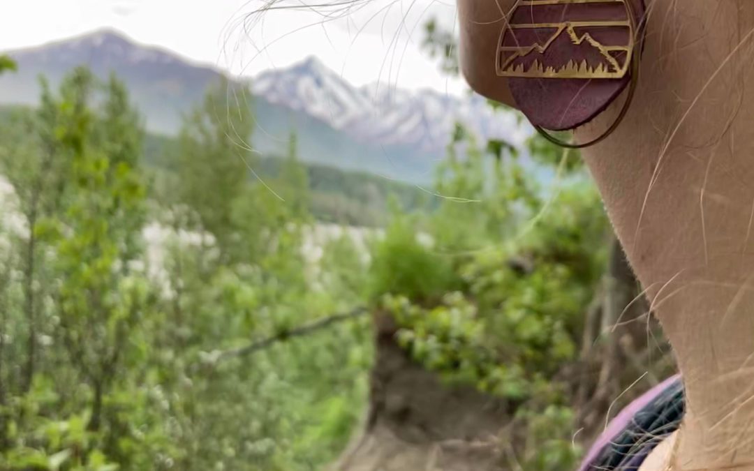
Photo of Kyndle taken by Gabe K.
Adventure Summary
The first few miles of this trail are easily accessible and regularly hiked. If you are not an experienced hiker who is prepared to encounter a few rock slides and possibly a bear then I do not recommend hiking further than the first two or three miles on the Palmer side of the trail. This trip was an adventure, to say the least. It was an easy trek but one of the scariest trips I’ve been on.
My boyfriend (Gabriel) and I walked a small portion of this trail on June 8th and turned around at about mile two or three because we didn’t have time for a long hike that evening. We returned on June 15th to hike the whole thing.
On the 15th we parked a vehicle at the Moose Creek campground and then parked another vehicle at the Palmer trailhead. We then walked from Palmer to Moose Creek where we retrieved the first vehicle. We are both experienced hikers and backpackers so this was an easy 6.5-mile trip for us with lots of great views, historical artifacts, and natural treasures along the way. It was very enjoyable, however, after we discovered fresh bear scat and dismembered moose parts, we were a little less excited to be on the trail. The trail ended at a lovely, little campground next to the bubbling Moose Creek with her wide and shaded banks.
History Fun Fact: The Alaska Native name for Moose Creek is ” Tsida K’ae Na’ ” which means “grandmother’s place” according to Chickalon tribal leaders. It was given this name because the creek is shallow and has wide banks making it a safe place for elders and children to fish and camp. This placename and its history most likely would have been forgotten if it hadn’t been recorded in Shem Pete’s Alaska. This book is available in the Palmer Museum and Visitor Information Center and includes information on a majority of Alaska Native placenames and history in southcentral Alaska.
Location and Directions

In Palmer, go north on N. Valley Way until the road ends at a T and intersects with E. Eagle Avenue. A small parking lot and a picnic table can be found on the right side of N. Valley Way. You’ll need to cross E. Eagle Ave. to get to the Trailhead directly across from the picnic table.
In the photo to the left is pictured the picnic table and trailhead across the street.
In the photo on the right you can see me sitting in my white truck stopped in the tiny parking lot on the side of N. Valley Way.

Maintenance
")
Most of the trail follows the original railroad bed so little maintenance is required to keep it intact since it’s got such a solid base. However, there are several steep places a few miles down the trail where erosion is a problem. If you look closely at the image on the left you can see the exposed rail tracks above a gravel slide on the Moose Creek end of the trail. In many areas you can see the remains of the railroad track below the trail, as pictured in the images below.
")
")
")
History fun fact: Some train cars were once dumped here in an attempt to prevent erosion by the river. It appears to have worked in some areas because the earth seems to have claimed the rail cars and covered them up with foliage. However, there are other areas where the rails are completely exposed above the trail because all the gravel was eroded out from under it. According to Collections Specialist, Richard Estelle, from the Palmer Museum and Visitor Information Center, some Palmer folks tried the same preventative erosion technique at Butte many years ago. They dumped a bunch of old cars alongside the river bank and chained them together with driftwood and logs in an attempt to prevent the river from eroding their farms further. This did not work. In fact, it made it even worse. The water back-eddied behind the vehicles, causing further erosion, and then carried all the cars away.
If you happen upon any of these train cars, please be respectful of these historic relics and leave them intact and undisturbed for the next curious hikers.
")
Safety Information
 (1)")
Rock Slides/Washouts: There are a few rock slides at about mile two or three. If you plan on crossing these, it’s best to do it in the morning when there is little to no wind to blow gravel and rocks down on you. Hurry through those sections and keep your eyes upward, constantly scanning for any rocks that may be hurtling towards you. The faster you cross the better. Once you get past the rock slides you’ll find yourself in the woods again, this will give you a false sense of security. The ground is still steep and loose in some places. We saw many large cottonwoods that had recently fallen from the cliffs above, some trees covered the trails, and large boulders with fresh dirt littered the path. Proceed hurriedly through these sections with extreme caution. Below are images of fresh boulders on the trail and to the left you can see me about to cross a precarious rock slide area.


Animals: If you’re going to hike the whole thing, come prepared with lots of loud noises, bear bells, bear spray, and/or a firearm (if you have experience and proper training). On our hike, my boyfriend (Gabriel) and I were having a jolly good time until about mile three or four when we stumbled upon a random, dismembered moose leg smack dab in the middle of the trail. Thoughts of bears and packs of wolves flooded my mind and my veins were pumping with adrenaline for the remainder of the hike. We found several more pieces of bones and moose hide along with bear scat. The bear scat wasn’t very fresh but it was undisturbed by hiker footprints and bicycle tire tracks, indicating that it was probably only a few days old. Gabriel and I were only armed with bear spray. After finding the moose parts and bear scat we kept out bottles of bear spray in hand for the entirety of the trip and we shouted back and forth to one another and talked about anything and everything that came to mind (including several repetitions of the Lord’s Prayer, Psalm 23, and every passage that helps relieve us of fear and anxiety). Talking loudly, singing, and clapping can help make your presence known to any wildlife nearby and prevent you and the animals from startling one another.
")
")
Plants: There are lots of Devil’s Club plants along the trail so watch out for those thorny, toxic plants that can leave gnarly wounds and infections.
Foraging and Trail Snacks
With bears on the brain, foraging was the last thing on my mind. Without a doubt there were many edible plants along the way but I took little notice of them because I was constantly scanning for wildlife. I saw some fiddlehead ferns but that was the only thing I noticed.
Additional Points of Interest
Secrets: This trail has many secrets. It is littered with historic artifacts and natural wonders. I have been asked by other hikers not to disclose certain artifacts and natural phenomenons for fear these artifacts may not be respected by new hikers. So if you’re interested in giving this trail a try, please be respectful of this area and keep your eyes open so you don’t miss out on some of the natural and historical assets of this trail!
Here is one little natural gem I can share. Beavers are a wonder to me. I can’t even open a granola bar wrapper with my teeth without hurting myself, how do they chew down entire trees?? Absolutely incredible!
")
Campground: The trail ends at the Glenn Highway shortly before the Moose Creek bridge. If you cross the highway you’ll find yourself in a lovely little campground complete with campsites, playground, pavilion, fire rings, and informational signs on the Chickaloon Tribe that maintains the campground throughout the summer.
The images below show the end of the trail that ends at the Glenn Highway and Moose Creek Campground. You can see my white truck parked there.
")
")
Below are a few more images of the park space in the Moose Creek Campground
")
")
")
History Fun Fact: Chickaloon tribal leaders say their ancestors used to fish in Moose Creek. When the mine was built along Moose Creek, the miners straightened out certain portions of the Creek and accidentally destroyed some of the natural fish habitat. Tribal leaders say the river is reclaiming itself, developing more twists and turns through natural erosion, and a few fish are beginning to return. They hope to fish out there again someday.
Gabriel and I explored the campground and had homemade PB&J sandwiches (on my first homemade sourdough bread) under the pavilion! It was a lovely way to spend the afternoon.
My favorite part of this hike were the beautiful views of the river. It was gorgeous!
")
History Fun Fact: Train engine No. 5 in Palmer that can be seen near the Palmer train depot was abandoned somewhere along the Moose Creek rail line and was brought to Palmer to be preserved for posterity.
If you’d like to find more information on trails, plants, animals, and history visit the Palmer Visitor Information Center and Museum at 723 S. Valley Way. https://visitpalmer.com/ and https://palmermuseum.org/
If you have questions about specific trails I recommend using the All Trails app and/or the Gaia app, visiting online at https://visitpalmer.com/hiking-backpacking/, https://dnr.alaska.gov/parks/aspunits/matsu/matsuindex.htm or visiting me at the Palmer Visitor Information Center and Museum.
Have fun and keep exploring!!
About the Author
")
Kyndle is a native Alaskan, born and raised in Palmer. She spends her winters teaching and her summers hiking. When she’s not hiking, she’s either working at the Visitor Information Center/Museum, Friday Flings, or other local community events. She’s been to a lot of places but Palmer is her favorite small town. After each hike this summer, she will publish a report about her adventures including important details regarding current trail conditions, available restrooms, ADA accessibility, foraging, trail snacks, history, and much more!