The southward view from on top the Butte. The tallest peak in the middle is known as Pioneer Peak.
The Bodenburg Butte Trail
The Butte trail has been a long time favorite for visitors and locals alike. I’ve probably climbed it over 100 times since I was in middle school. With its hills and staircases, this hike is a bit more strenuous than most trails within the valley, but is hikeable by most people including small children. The view of the Matanuska Valley below is absolutely unbeatable! From the top of the Butte you can experience the best panoramic view in the entire valley. To make it even better, it’s only about two miles long, round trip. Certainly, the biggest bang for your buck!
Location and Directions
There are two locations from which you can access the Butte; the north side and the south side. The trailhead on the north side is known as the West Butte Trailhead because the trail runs along the west side of the Butte. The trail on the south side is affectionately referred to as the rough side due to its incredibly dusty and difficult terrain that occasionally requires some scrambling on rock faces.
To access the West Butte trailhead (on the north side of the Butte) from Palmer, you’ll take Arctic Avenue east out of Palmer. Once you’ve crossed the Matanuska River Bridge (also known as George W. Palmer Memorial Bridge) you’ll technically be on the Old Glenn Highway (Arctic Avenue becomes the Old Glenn once you exit Palmer proper). Follow the Old Glenn approximately 4.5 miles and then turn right on S. Bodenburg Loop by Polyseal Insulation. Follow S. Bodenburg Loop approximately a half mile and turn left on E. Mothershead Lane. The trailhead is at the end of the bend where you can pay $5.00 for parking which is used on trail maintenance.
To access the trailhead on the south side of the Butte (next to the William’s Reindeer Farm) you’ll take Arctic Avenue/Old Glenn east out of Palmer. After about five miles you’ll come to a four-way intersection in the community of Butte. You’ll turn right at the four way intersection at S. Bodenburg Loop. About half a mile down the road you’ll turn right immediately before the first 90 degree turn in the road. There will be a dirt parking lot on your right where you can park. The dusty trail begins next to the road.
Note: Bodenburg Loop is, in fact, a loop that begins at Polyseal insulation on the Old Glenn Highway and ends at the four-way intersection with the Old Glenn Highway. So if you aim for the first exit but find the second exit instead, that’s okay because there is nothing wrong with taking the scenic route! If you follow the loop around, you’ll get to see some beautiful farm country and you’ll eventually wind your way around the entrance you were looking for.
History Fun Fact: Mr. John Bodenburg was a homesteader in the Valley long before the first Matanuska Colonists arrived in 1935 who founded the community that later became Palmer. Bodenburg formed the first farm in the Butte area in 1917. Click here to read more about the history of Butte.
Maintenance and Updates
The West Butte trail (trailhead on the north side of the Butte) is incredibly well maintained. In fact, I encountered a trail maintenance crew while hiking a few days prior. The crew filled in many of the stairs and restrung cable between the posts that border the trail. This trail also includes several informational signs with maps and graphics, groomed gravel travels, benches to rest on at the halfway point, and a few hundred stairs within the last half of the steep part of the trail. There is also a permanent outhouse at the trailhead parking lot if needed. However, bring your own toilet paper because sometimes it runs out (I learned the hard way).
The south Butte trail is not as regularly maintained, if at all. It is very eroded, dusty, and requires a little scrambling up rock faces. This side is not recommended for individuals with a fear of heights (I also learned this the hard way). This trail is much shorter but more difficult than the West Butte trailhead located on the north side of the Butte.
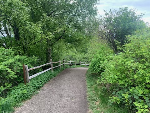
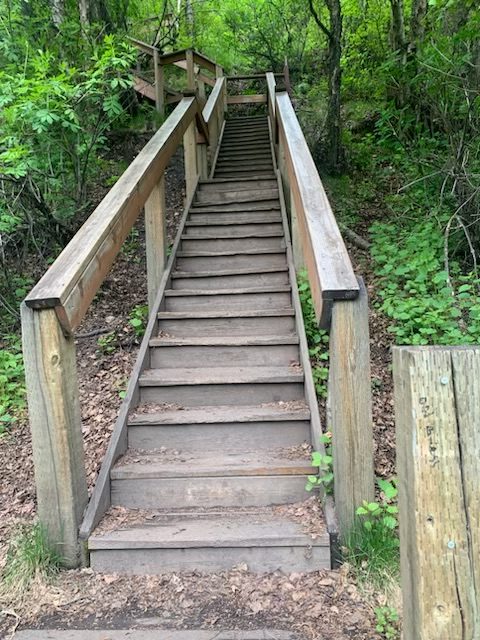
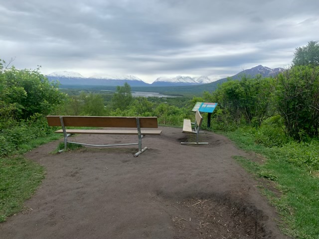
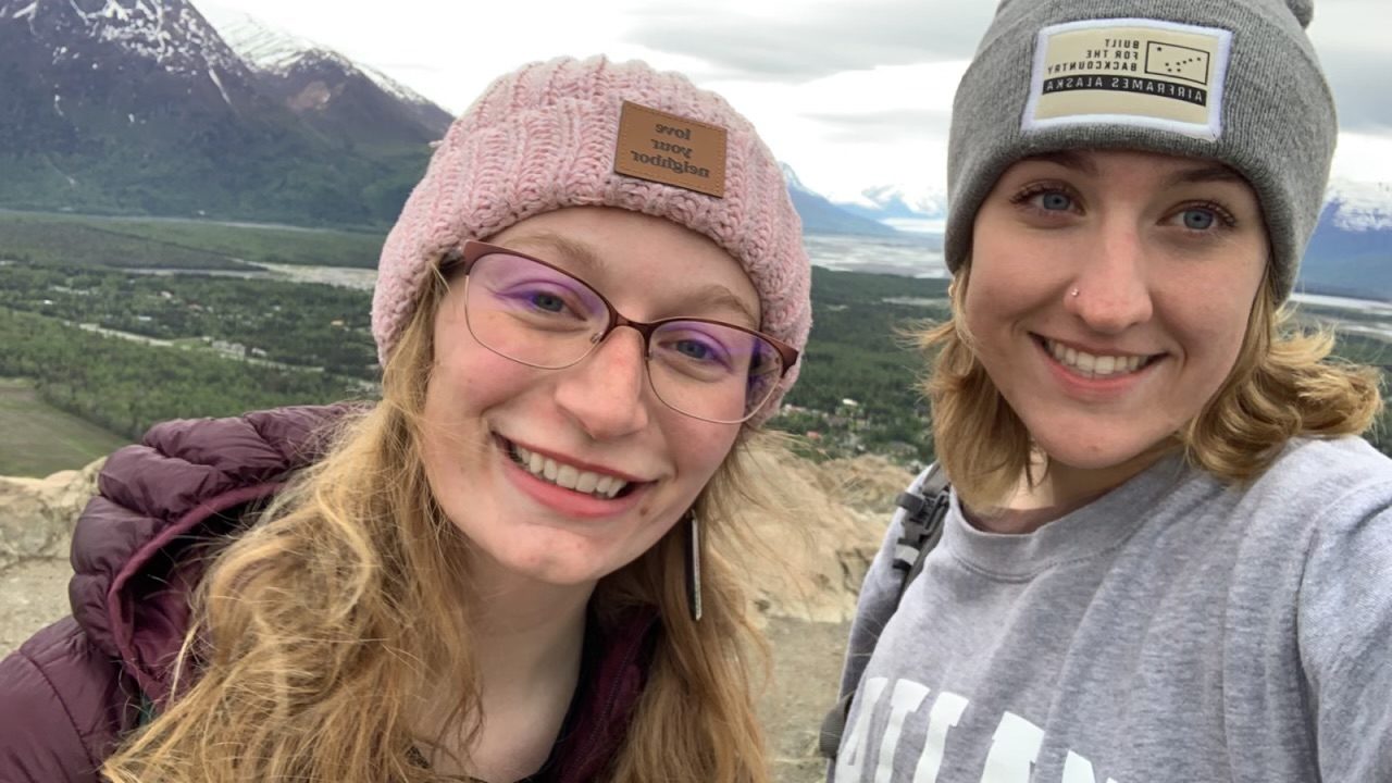
Photo creds to my friend, Mary Wright, who took these shots of the trail after my phone died.
Safety Information
Heights: Proceed with caution around edges, especially on rock faces on the south side. Most of the West Butte trail has posts and cables strung along the trail to prevent falls but still proceed with caution especially with tiny humans.
Animals: I hike this trail alone regularly and have never encountered any dangerous animals. However, there are occasionally moose in this area and every year or two there is a rumor of a bear sighting. I personally do not hike with bear spray or a gun on this trail. I usually make noise by talking loudly with friends or singing if I’m hiking by myself. This is often a deterrent for wildlife that will ensure neither you, or they, are startled. If you wish to carry bear spray or a firearm for protection, it is important that you have tested these tools and have experience and training in using them before carrying them so that you are not a threat to yourself or others.
Pets: This is a very narrow trail in some areas and many people hike with their dogs. If you plan to hike with your dogs please keep them leashed to protect them and others.
Plants: Devil’s Club and Cow’s Parsnip are both very common in this area. Avoid both, they are toxic and in some cases, deadly. As mentioned in my last post, both these plants have tall stalks with large leaves. Devil’s Club produces thorns on its stalks as well as green berries that turn red and Cow’s Parsnip produces white flowers. When processed properly Devil’s Club can be used for medicinal purposes as has been done by Alaska Natives for hundreds of years. However, if not processed properly the stalks, leaves, and berries can cause severe injuries and illness. Even just burning the leaves can cause severe lung damage especially in small children and animals. Cow Parsnip is also toxic. If the sap within the stalk gets on your skin, it will cause your skin to swell up with puss-filled blisters once the area is exposed to sunlight and the chemical reaction takes place. If you’re interested in acquiring an Alaska plant pocket guide, we also carry them at the Palmer VIC and museum.
Gear: For this trail I recommend hiking boots or at least tennis shoes with good tread for the rocky places and gradual slopes.
Trail Snacks and Foraging
I do not recommend foraging or collecting food in this area. There are many areas around the trail that are currently trying to heal from erosion. Please be respectful of this restoration project. Further erosion can lead to trail closures.
Instead, I recommend bringing your own granola bars or small snacks for the trail as well as a water bottle. Most folks like to take a few minutes to sit, sip, snack, and enjoy the view once they get to the top.
Additional Points of Interest
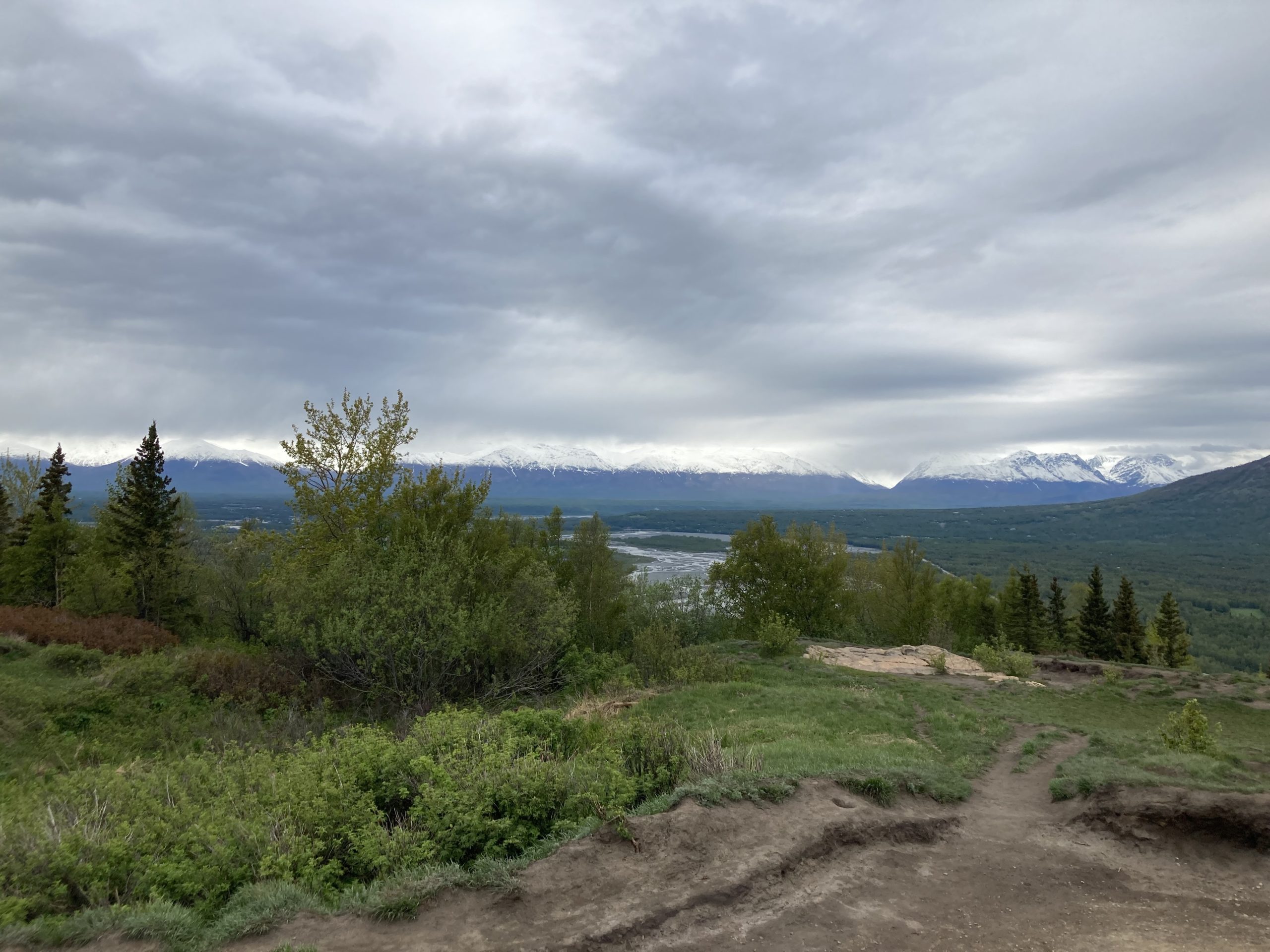
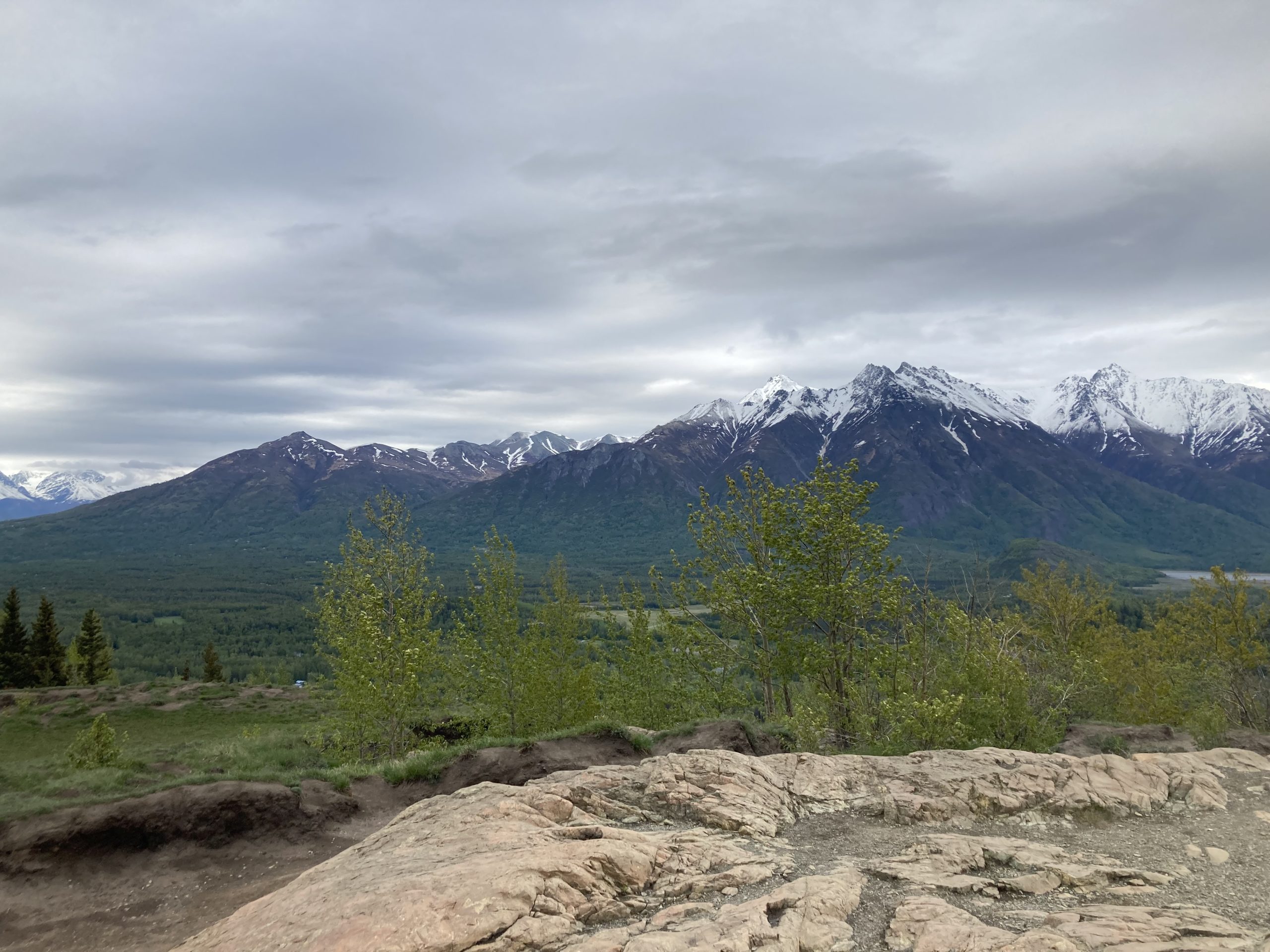
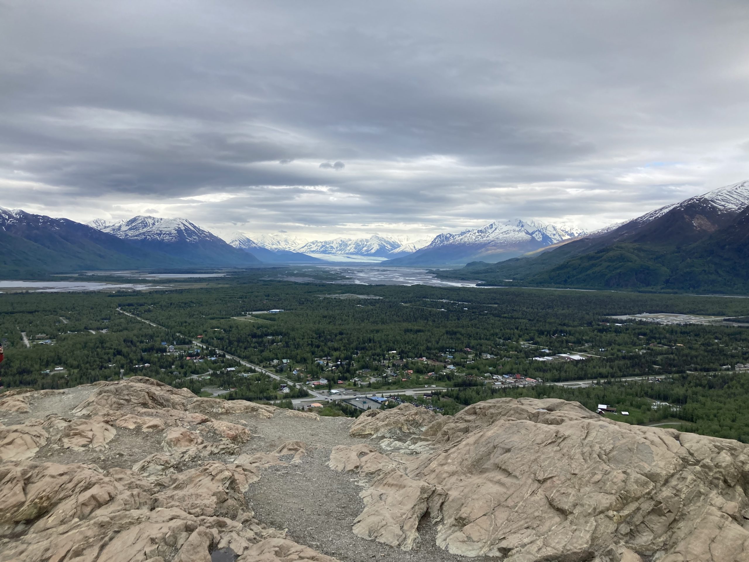
The Panoramic View! (including 3 mountain ranges, two rivers, a glacier, and reindeer)
To the north you can see the Talkeetna Mountain range, Hatcher Pass (through the Talkeetna Mountains), and The Matanuska River.
To the west you can see the Matanuska River meander southward to meet up with the Knik River and flow out to the Knik Arm of the Cook Inlet near Anchorage. On a clear day you can even see Mount Susitna (AKA Sleeping Lady) belonging to the Alaska Mountain Range. You can also see the cities of Palmer and Wasilla. (This view is not pictured because my phone died from the cold)
History Fun Fact: There are two Alaska Native legends about Mount Susitna, also known as the Sleeping Lady (Dena’ina: Dghelishla). The first local legend tells of a woman who belongs to an ancient race of giants, vowed to sleep until her love comes back from war. The mountain is associated with a local legend in which a woman belonging to a race of giants vows to sleep until her beloved comes back from battle. Another legend tells of a woman belonging to the race of giants who said she would lie down beside the river she loves to become Mount Susitna. Her relatives followed her to become Mount Redoubt, Mount Iliamna, Denali, and others belonging to the Alaska Mountain Range.
To the south you can see Pioneer Peak (I will be hiking Pioneer towards the end of summer) and the Chugach Mountain Range. You can also see the community of Butte below. If you look closely you can see the Alaska Raceway Park and the historic William’s Reindeer Farm.
To the southeast you can see the Knik Glacier nestled in the Chugach Mountain Range and its Knik River flowing from it, to the west, where it will later meet with the Matanuska River to flow out to the ocean.
To the east you can see some more of the Chugach Mountain Range and the famous Matanuska Peak and Lazy Mountain (I will be hiking these later this summer).
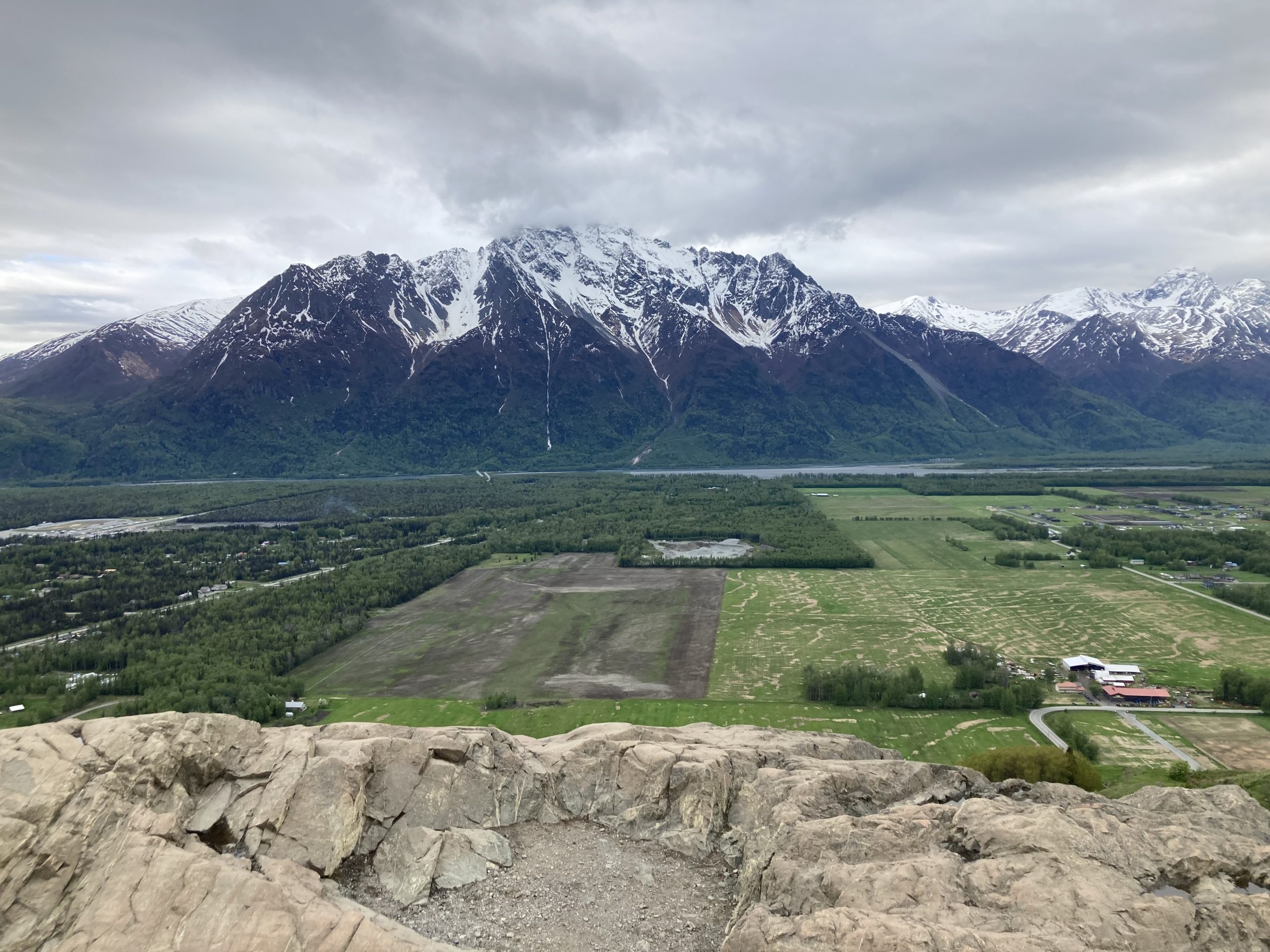
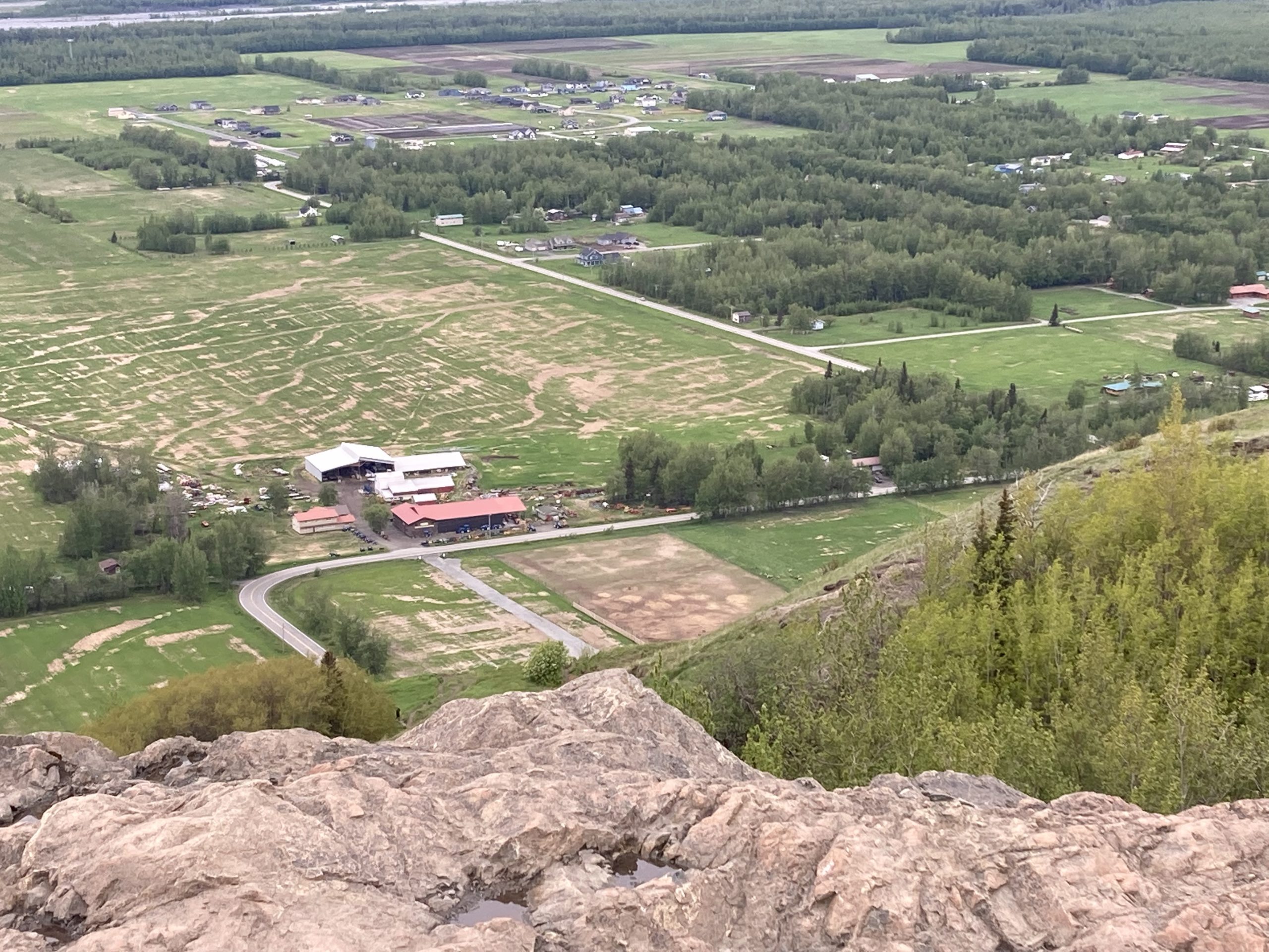
The Reindeer Farm below the Butte is a must-see. At the farm you can pet and feed reindeer, moose, elk, alpacas, pigs, and more! They also have a grill and coffee shop/ice cream parlor in the barn. The farm now offers self-guided tours in which you can move at your own pace and ask the farm workers at each station whenever you have questions!
The fields in between that bend in the road and the Butte belong to the Reindeer farm. Sometimes, if you look closely, you can see reindeer out there.
History Fun Fact: Did you know that it has been illegal for anyone (except Alaska Natives) to own Alaskan reindeer since 1937? Fortunately, because Tom William’s reindeer were from out-of-state, his farm was allowed to operate. However, it took multiple court hearings beginning in 1987 and finally ending ten years later at a victory in the Ninth Circuit Court of Appeals in 1997 where he maintained the right to own his reindeer. The family tradition has continued and his oldest daughter Denise, her husband, and all her children, and grandchildren work and live on the farm! You can see this farm from the top of the Butte but I encourage you to check it out in person. https://www.reindeerfarm.com/
If you’d like to find more information on trails, plants, animals, and history visit the Palmer Visitor Information Center and Museum at 723 S. Valley Way. https://visitpalmer.com/ and https://palmermuseum.org/
If you have questions about specific trails I recommend using the All Trails app and/or the Gaia app, visiting online at https://visitpalmer.com/hiking-backpacking/, https://dnr.alaska.gov/parks/aspunits/matsu/matsuindex.htm or visiting me at the Palmer Visitor Information Center and Museum.
Have fun and keep exploring!
About the Author
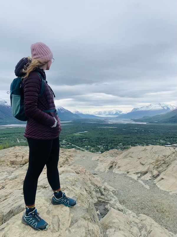
Kyndle is a native Alaskan born and raised in Palmer. She is a local high school teacher and summer staff member at the Palmer Visitor Information Center and Museum. After each hike during the summer of 2023 she will publish a report about her adventures including important details regarding current trail conditions, available restrooms, ADA accessibility, foraging, trail snacks, history, and much more!
If you’d like to follow her hiking and backpacking adventures in the backcountry you can check in each week for new updates online at the Visit Palmer page under the blog tab or on the Visit Palmer Facebook page.

